> work // field data app // Field services
ImGeo → FieldProof
We built the prototype in the open. A client now runs their own private version in the field.
// The build
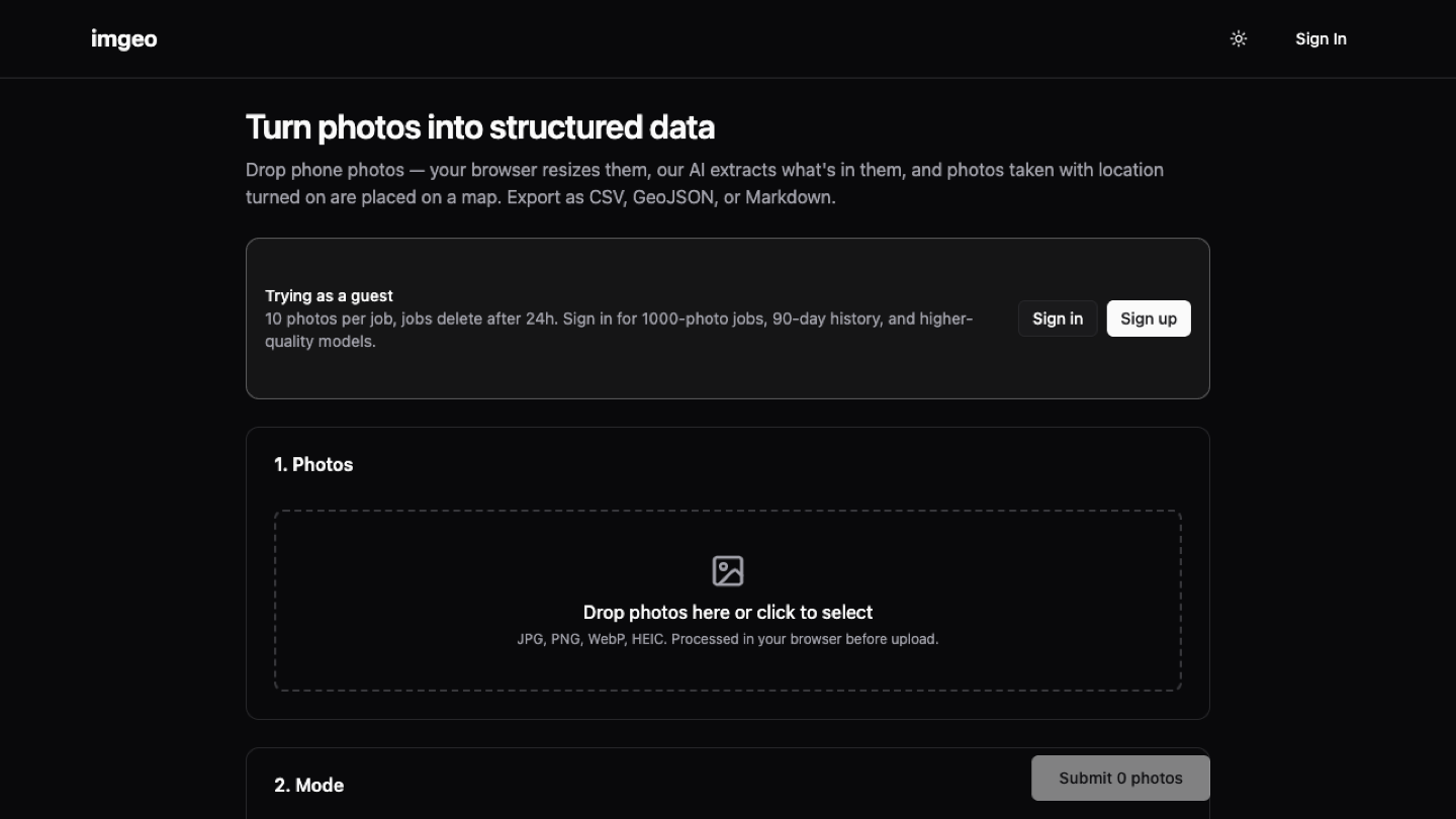
ImGeo started as our own prototype: drop in geotagged phone photos, AI extracts what is in them, every shot lands on a map, and the lot exports as CSV or GeoJSON. We built it to find out how good photo-to-data could get. Good enough, it turned out, that a field-services business commissioned their own private fork, FieldProof, fitted to their workflow. They would rather not be named, and we respect that. The prototype is ours to show.
Prototype in the open
ImGeo was an explore-and-learn build, a tight 20-commit sprint to answer one question: can a phone photo become a structured, mapped, exportable record without a human typing anything? You can try the answer yourself at imgeo.au.
Photos into data
Field workers already take the photos. ImGeo reads them: AI extracts what is in the frame, GPS data places it on the map, and the results export as CSV, GeoJSON or Markdown, ready for whatever system needs them next.
From prototype to product
This is the pattern we keep proving: build the prototype openly and cheaply, learn what is real, then productionise privately for the client who needs it: their branding, their data, their instance. The prototype takes the risk so the client project does not have to.
Built with
// Next case study · or use ← → arrow keys
// More work
GRS Moving
From a dated red wall-of-text to a modern removalist site built to win the quote.
Ungooroo Aboriginal Corporation
A community-controlled health organisation with a site that helps people find the right service, fast.
Certified Pest & Building
A pest and building inspection service built to win the booking: pricing, process and proof all up front.